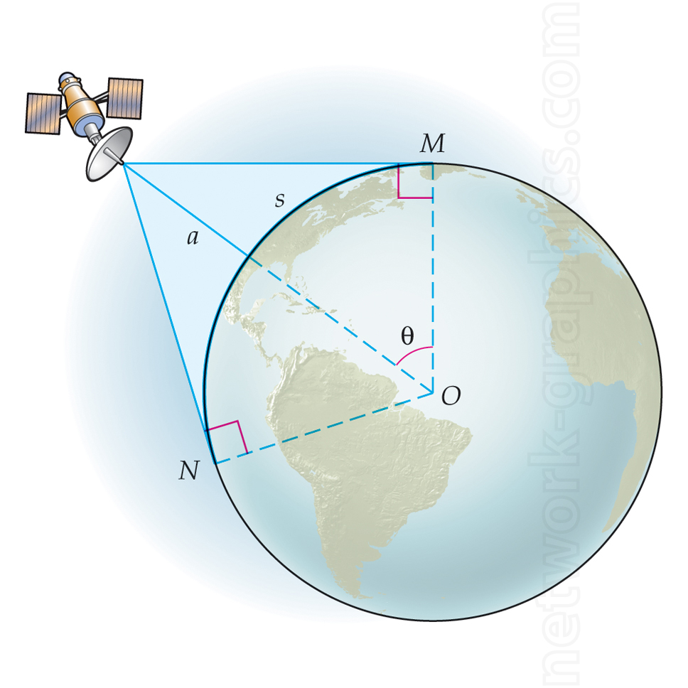
Maximizing satellite coverage of the Earth surface.

This illustration shows the geometric relationship between a satellite, Earth, and points of observation, highlighting concepts used in geometry textbooks to explain spherical trigonometry and satellite communication.
We can provide sample images or create custom illustrations tailored to your projects. If you are looking for an illustration of this type, or from another subject area, you can contact us to discuss your needs.
Network Graphics / Division of Abramson & Wickham Graphics Inc.
All rights reserved.

