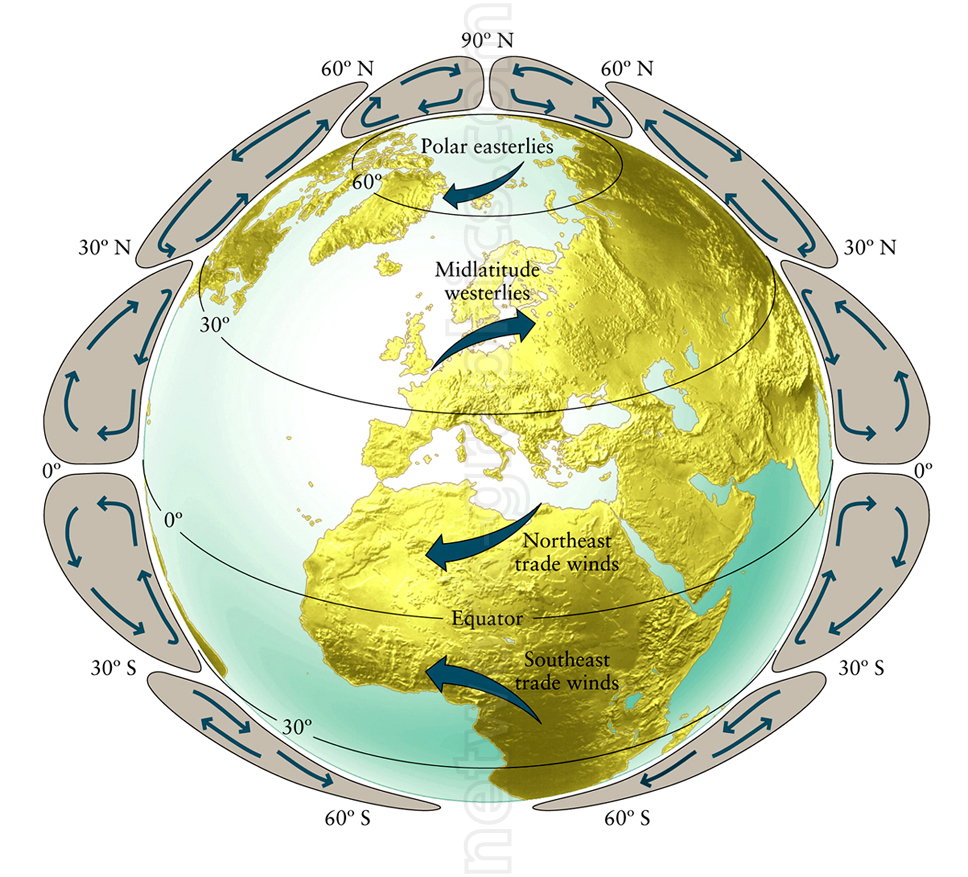
Global Wind Patterns and Atmospheric Circulation.

This illustration of global wind patterns and atmospheric circulation is an essential resource for middle and high school geography or Earth science textbooks. It visually maps out the polar easterlies, midlatitude westerlies, and trade winds, helping students grasp the movement of Earth’s wind systems and their impact on climate and weather patterns across different latitudes.
We can provide sample images or create custom illustrations tailored to your projects. If you are looking for an illustration of this type, or from another subject area, you can contact us to discuss your needs.
Network Graphics / Division of Abramson & Wickham Graphics Inc.
All rights reserved.

