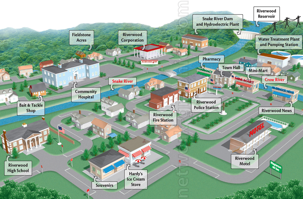
Community Map of Riverwood Town Illustration

This town map illustration, suitable for elementary and middle school geography or social studies textbooks, provides a detailed visual representation of the fictional town of Riverwood. The map highlights key locations, including natural features like Snake River and Crow River, and infrastructure such as the water treatment plant, hospital, and school, making it ideal for lessons on community services and urban planning.
We can provide sample images or create custom illustrations tailored to your projects. If you are looking for an illustration of this type, or from another subject area, you can contact us to discuss your needs.
Network Graphics / Division of Abramson & Wickham Graphics Inc.
All rights reserved.

